Information about the Sage Hen Area
Trail Head Pictures
Trail Map  |
Details
- Start:
Saturday 08:00 - 18:00
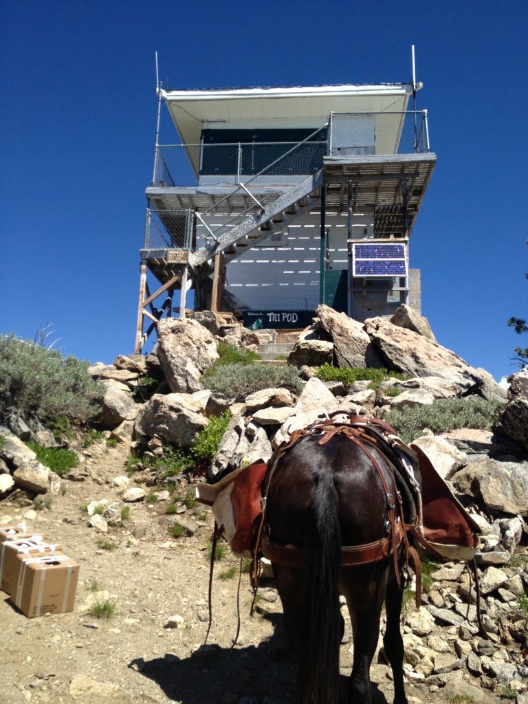
- Trail Elevation: 6560 - 7360
- Area
- Boise National Forest
- Region
- West Mountain Ola, Idaho
- Project
Type
- General Trail Maintenance
- Ride
Difficulty Rating
- 2 - Good Trail with switch backs - Not Technicial
- Work
Difficulty Rating
- 2 -
Down Tree removal & Brushing, minor tread work.
Joe’s Creek Trail Head, is 4 miles from the Junction of FSRD 618 and FSRD
409. Continue east around the lake on FSRD 618 to RD 422. This single
lane road, climbs from 5000 at Sage Hen to 6500 feet at the trailhead. This
road is in good shape, but is not suitable for goose Neck style trailer. There
is parking for 5 or 6 trailers at the trail head.
|