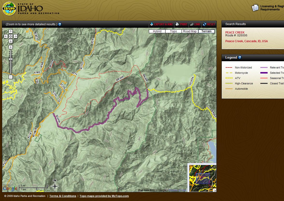
ID Parks and Rec has developed a mapping web page that uses BLM and USFS and other GIS data that will map open trails and roads and their designation. It is similar to our Hunt Planner. Users zoom in and see trails or it allows them to do a search on a known name or number of a trail. There is also an export feature that will take a selected trail and export it to Google Earth. It takes some practice to get used to it, but check it out.